


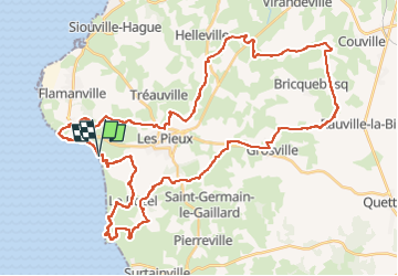

23 km | 28 km-effort


Benutzer


Kostenlosegpshiking-Anwendung
 SityTrail
IGN / Geografische Institute
SityTrail World
Die Welt öffnet sich für Sie
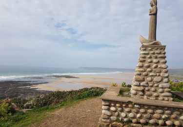
Tour Mountainbike von 51 km verfügbar auf Normandie, Manche, Les Pieux. Diese Tour wird von ves vorgeschlagen.
Une belle boucle de 50 km dans les chemins et sentiers côtiers.

Wandern
Wandern
Wandern

Mountainbike

Mountainbike

Laufen

Wandern
Wandern